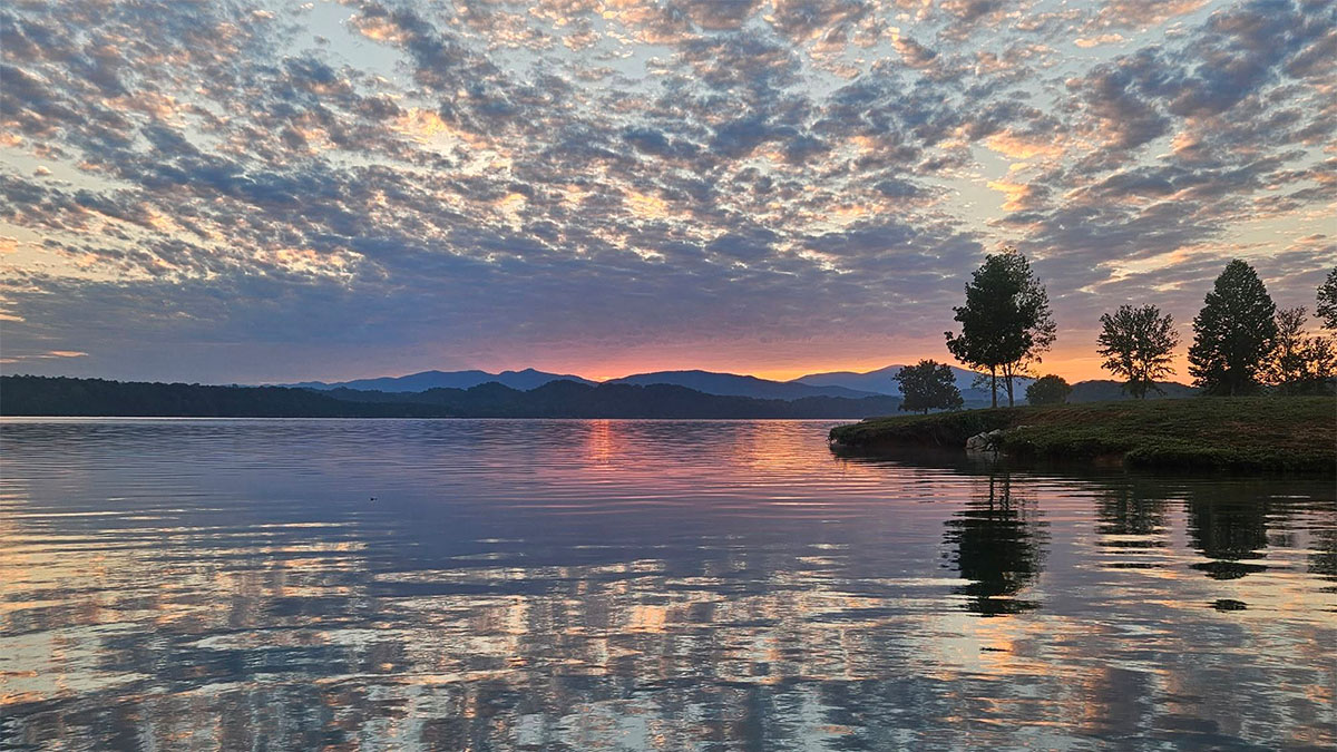

Before Watauga Lake filled, contractors moved 125 residences out of Butler. They moved 50 other structures, too.
The original townsite went underwater. Some of its houses continued their lives on higher ground.
Across Tennessee, reservoir construction changed communities in different ways. Residents rebuilt nearby, followed relocated highways, or scattered among neighboring counties. In one place, the buildings were removed even though the water never fully covered the site.
The projects brought flood protection, electricity, and improved navigation. They also required people to leave homes, businesses, schools, and familiar roads.
Here are seven towns that lost their ground to the lakes, and what’s left of them today.
1. Butler: A Community Rebuilt Above Watauga Lake
Old Butler occupied the Watauga–Roan Creek valley in Johnson County. Farming and lumbering helped support a town with shops, churches, medical offices, lodging, and Watauga Academy.
People from the surrounding countryside came into town to buy supplies, see a doctor, or attend school. Moving Butler meant finding new places for those everyday connections.
TVA’s Watauga project would put the original location underwater. Construction began in 1942, paused during the war, and resumed in 1946. The dam would provide flood protection and generate electricity.
Moving the community took its own planning. A nonprofit organized a replacement settlement with assistance from TVA and the state. Contractors relocated 125 residences and 50 other structures before reservoir filling began on December 1, 1948.
The move preserved part of Butler’s built environment, although the entire town was not transferred intact. Present-day Butler carries the name forward on higher ground, while the old site is normally submerged.
The Museum of Butler explores the original town, education, and dam construction. Its building resembles the old depot; it was built to recall that landmark rather than relocated from the valley.
The museum also preserves the W.S. Stout store, whose history includes a move from the Roan Creek area to Pine Orchard before its eventual donation. The store survived, but the roads, neighbors, and daily routines around it had changed.
Planning a visit: Check the museum’s seasonal opening arrangements before traveling. Its published 2026 regular season ran from May 23 through October 31, with weekend hours and group tours by arrangement.
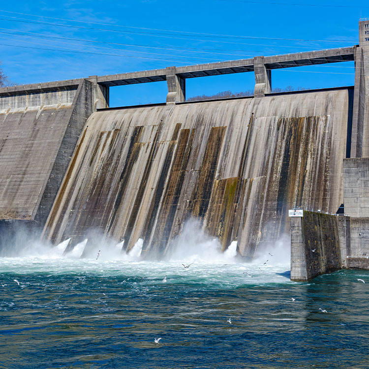
2. Loyston: Everyday Life Before Norris Lake
In October 1933, photographer Lewis Hine documented Oakdale School near Loyston. His photographs recorded a school serving an estimated 30 to 40 pupils in a landscape soon to be transformed by Norris Reservoir.
Other images show a nearby church and Mrs. Jacob Stooksbury at home with her spinning work. They show what dates can’t: people going about ordinary days, unaware of what was coming.
Loyston, once known as Loy’s Cross Road, was a small Union County village. The surrounding farms and institutions connected it to a wider rural community.
TVA began Norris Dam in October 1933. Land acquisition and relocation followed, and reservoir filling began in March 1936.
The original village site was inundated. Former residents moved to several neighboring counties. Unlike Butler, Loyston did not continue through one organized replacement settlement.
The nearby town of Norris had a different purpose. It was built for project workers, rather than as Loyston rebuilt under a new name.
Today, Loyston Sea preserves the name on Norris Reservoir. Nearby Loyston Point trails offer views of the changed landscape, while Hine’s photographs provide a closer connection to life before the lake.
The Tennessee State Museum’s history of underwater communities offers another introduction to Loyston’s story.
3. Bean Station: When the Crossroads Changed
The Old Colonial Tavern stood at the heart of historic Bean Station, where travelers passing through Grainger County could stop for lodging and supplies.
By the twentieth century, the crossroads associated with U.S. 11W and U.S. 25E helped shape the village. Businesses depended on the roads bringing customers past their doors.
Cherokee Reservoir changed both the settlement and its transportation network.
TVA began Cherokee Dam in August 1940, building rapidly as demand for electricity increased before the United States entered World War II. Reservoir filling began on December 5, 1941. Flood storage and power generation were central purposes of the project.
The historic village was affected by inundation and highway relocation. A plan to reestablish a community around the Old Colonial Tavern did not come together. Families relocated independently, including along the new highways.
Modern Bean Station continues the name, but the original crossroads arrangement was disrupted. Businesses and households had to find their places in a changed road network.
Maps and photographs in the University of Tennessee’s tavern restoration collection preserve evidence of the plans considered for the village. The coordinated move never took shape as proposed.
For a present-day outing on Cherokee Lake, the Panther Creek section of our guide to Tennessee parks recommended by locals covers trails and lake views near Morristown.
4. Willow Grove: A School Serving More Than a Village
Willow Grove’s school served families beyond the village itself.
The community stood in eastern Clay County, in the Obey River valley. Stores, churches, service stations, a school, and a gym supported the surrounding farming area. In the late 1920s, the school expanded from a two-year to a four-year high school.
For students from nearby farms, that expansion made Willow Grove a place to continue their education. The school brought families from a wider area into the village, giving its loss consequences beyond the buildings that would be flooded.
Dale Hollow was a U.S. Army Corps of Engineers project, not a TVA dam. Government purchase of Willow Grove took place in 1942. The dam was completed in October 1943, and the reservoir reached full impoundment in May 1944.
Flood control was the original authorized purpose. Hydropower authorization and generating facilities followed later.
The lake isolated some eastern Clay County communities from the rest of the county by road.
A school foundation remains offshore near the present Willow Grove Campground beach. Its visibility depends on water conditions.
Historic photographs offer a more dependable introduction to the village. The Tennessee State Museum includes a pre-flood image of Willow Grove credited to the U.S. Army Corps of Engineers.
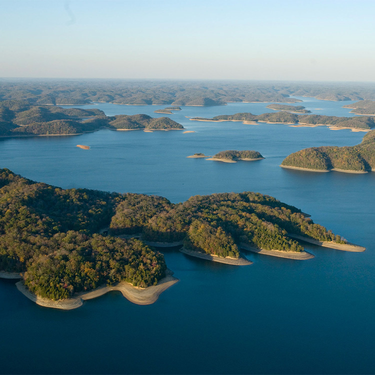
5. Morganton: A River Port Before Tellico
Morganton’s ferry continued operating into 1961.
For generations, the Little Tennessee River helped make Morganton a place to settle and do business.
Morganton stood near Baker Creek, close to present-day Greenback in Loudon County. River trade, lumber mills, a steamboat connection with Knoxville, and the ferry linked it to people and markets elsewhere.
TVA acquired Morganton for the Tellico project in the late 1960s. Tellico Dam closed in November 1979, after years of litigation and congressional action.
Tellico itself has no generators. Water moves through a canal to Fort Loudoun Reservoir, supporting generation there. Navigation, flood storage, and economic development also formed part of the project’s purposes.
The reservoir inundated Morganton’s low ground. Its elevated cemetery survived above water, preserving a physical connection to the settlement.
A 1939 photograph held by the National Archives records the village decades before Tellico’s completion. It offers a glimpse of the earlier landscape, although it cannot tell us which buildings remained when acquisition began.
Greenback Heritage Museum provides a starting point for learning about the local area. The Morganton Branch of the East Lakeshore Trail offers a separate way to experience the surrounding landscape.
6. Old Jefferson: Cleared, but Never Fully Submerged
Old Jefferson’s buildings were removed before J. Percy Priest Reservoir filled. Part of the townsite stayed above water.
The Rutherford County community stood at the forks of the Stones River and served as an early county seat. After county government moved to Murfreesboro, Jefferson’s court and trading functions declined. A rural community remained.
In a 1984 Nashville Tennessean account preserved by the Rutherford County Tennessee Historical Society, former resident Everett Waller recalled growing up in the village.
“I grew up on the square, in an old two-story house with lots of porches,” he said.
Waller described stores, a blacksmith shop, a church, and farming that shifted from cotton toward dairying. His recollections show a place where people still lived and worked long after the county-seat years had ended.
Construction of the U.S. Army Corps of Engineers’ J. Percy Priest project began in 1963. Jefferson’s buildings were dismantled or moved in 1966–67, before project completion in 1968.
The reservoir never fully covered the townsite. By then, however, the buildings and the community’s arrangement had already been removed.
Some relationships continued elsewhere. The Church of Christ congregation relocated, carrying an institution beyond its original setting.
The Rutherford County Tennessee Historical Society preserves maps, photographs, and accounts of Old Jefferson, including images of buildings being prepared for relocation.
Planning a visit: Check current access arrangements before attempting to visit the former townsite.
7. Johnsonville: Higher Ground and a Successor Town
At Johnsonville, you can still explore part of the old landscape.
The town grew from a Union river-and-rail supply depot into a civilian community on the Tennessee River in Humphreys County. Its working life included timber, sand and gravel, fishing, musseling, shops, lodging, and a peanut-recleaning plant that employed women.
Schools and Black and white churches served residents. The Civil War depot was the beginning of a longer town history, with livelihoods tied to the river and the transportation connections beside it.
TVA’s Kentucky Dam brought another major change. Although the dam stands in Kentucky, its reservoir reaches far into Tennessee. The gates closed in August 1944, supporting navigation, flood control, and electricity generation.
Low-lying parts of Johnsonville were inundated. Higher ground survived. Many residents resettled about three miles upstream in what became New Johnsonville, while others dispersed.
That left several connected places: the submerged low ground, the surviving uplands, and the successor community.
Johnsonville State Historic Park preserves fortifications, cemeteries, railroad-related features, and town-era sites. Its African Methodist Cemetery helps preserve evidence of Black community history alongside the better-known military story.
The park’s museum and outdoor interpretation provide a way to understand those different periods. Civil War earthworks, later civilian sites, and reproduction soldiers’ huts each represent a different part of the landscape’s history.
Nearby New Johnsonville is where many of those families ended up. The original riverfront changed, but a community continued a few miles upstream.
For other outings on Kentucky Lake, our guide to Tennessee beaches recommended by locals includes Paris Landing and the Big Sandy area.