
Two of Tennessee’s most popular fall drives could hit peak color within 48 hours of each other this week.
Foliage forecasts put Fall Creek Falls at its best around October 28 and Cades Cove around October 30. Neither date is guaranteed, but if you’ve been waiting for the right weekend, this is the one to watch.
1. Fall Creek Falls: Waterfall Overlooks and an October 28 Forecast
Falling into Fall’s park-specific forecast predicts peak color around October 28, with a stated uncertainty of five days either way. Its suggested viewing window runs from October 23 through November 2.
The provider’s October 23 update reported moderate color based on satellite readings. Satellite readings run a few days behind, so conditions may have moved since then.
Still, Fall Creek Falls gives you a clear focus for an outing: the waterfall and its surrounding forest.
Build a visit around the main falls viewing area and designated scenic overlooks. Seeing the falls from above lets you take in the landscape without making the more demanding descent toward the base.
If you want to descend, account for the greater physical effort and check trail conditions first. The park’s official visitor information can help you decide how much walking to include.
If you’re comparing destinations for another outdoor trip, our guide to Tennessee parks locals love offers more places to consider.
2. Cades Cove: An 11-Mile Valley Loop With an October 30 Estimate
Smokies Fall Guide places Cades Cove’s modeled peak around October 30. That’s a forecast, not a confirmed report from the park.
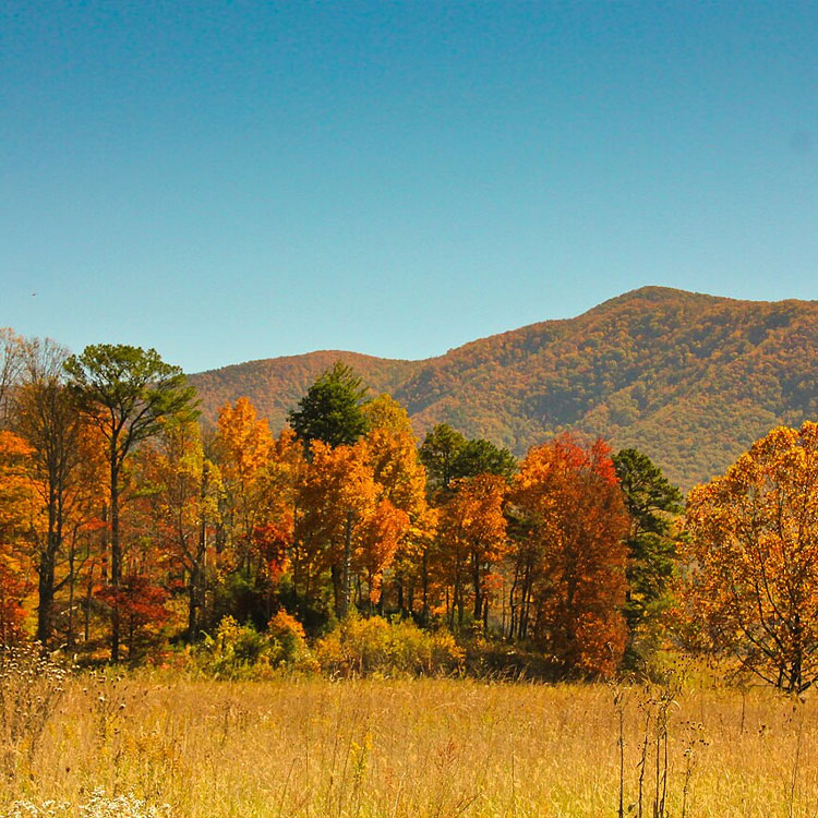
The 11-mile, one-way Cades Cove Loop Road travels through an open valley surrounded by wooded mountains. Fields, historic buildings, and forested stretches give the drive variety beyond the leaves.
Allow approximately two to four hours, as the National Park Service recommends. Traffic, wildlife viewing, and stops can stretch the trip, particularly on weekends.
If exploring historic buildings or adding a walk is part of your plan, give yourself additional time.
Use the official Cades Cove visitor information to plan the loop, with the October 30 estimate as a date to watch.
3. Newfound Gap Road and Kuwohi: Explore Several Elevations
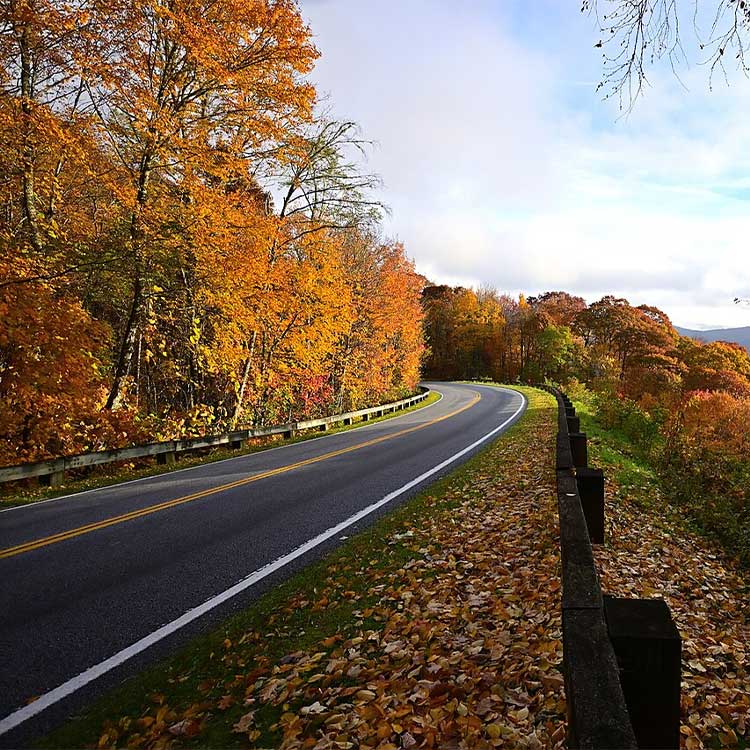
Newfound Gap Road offers a practical way to compare scenery at different heights. From Gatlinburg, begin near Sugarlands Visitor Center and follow US 441 toward Newfound Gap.
The NPS fall-color guide explains that color typically moves from higher elevations toward lower valleys over several weeks. Exact timing varies with environmental conditions.
That pattern helps explain why the highest overlook may not have the strongest hardwood color. As you climb, the forest changes, and evergreens become more prominent higher up.
Stop at designated overlooks along the climb rather than saving all your viewing for the highest stop. It’s the best route for seeing several elevations in one drive.
Kuwohi adds mountain views and a steep walk
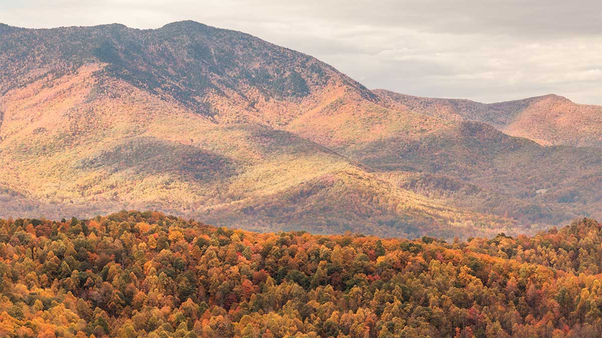
Kuwohi, formerly Clingmans Dome, offers broad mountain views. Smokies Fall Guide’s model places it past peak, though some color may linger on lower slopes.
Reaching the observation tower requires a steep, paved half-mile walk each way, or one mile round trip. Factor that climb into your plans before adding it to a driving day.
Carlos Campbell Overlook was also listed as temporarily closed while crews assess pavement and sidewalk cracks. Check the NPS road updates for its status and other access restrictions before traveling.
4. Little River Road and Metcalf Bottoms: A Riverside Drive
For an outing built around wooded scenery and water, consider Little River Road.
Start in Townsend, head toward the Townsend Wye, and follow Little River Road toward Metcalf Bottoms. The route follows the Little River through Great Smoky Mountains National Park, with opportunities to stop beside the water.
Plan around the river scenery and short stops.
The NPS guide to Metcalf Bottoms and Elkmont provides additional information for planning time in this part of the park.
5. Eastern Foothills Parkway: Mountain Overlooks Near Cosby
The eastern Foothills Parkway between Cosby and Interstate 40 offers mountain views from the road and designated overlooks for short stops.
This is a separate segment from the parkway sections near Walland, Wears Valley, and Chilhowee. A color report from those areas does not describe conditions on the Cosby–I-40 stretch.
No forecast covers this segment. If this is your preferred drive, make sure any report you use names this section, and confirm road access before leaving.
6. Middle and West Tennessee: Nearby Outings and a Parkway Detour
For Nashville-area readers, Radnor Lake State Park remains a nearby nature-outing option. Farther west, Natchez Trace State Park and Reelfoot Lake State Park offer other landscapes to consider.
No forecast covers these parks directly. At Reelfoot, cypress trees, lake scenery, and surrounding hardwoods create a different setting, and the trees do not necessarily change together.
For more ideas beyond this foliage outlook, browse our guide to places to enjoy nature in Tennessee.
Natchez Trace Parkway: Check the bridge closure
Natchez Trace Parkway is separate from Natchez Trace State Park near Wildersville and Lexington. The parkway extends through Tennessee, Alabama, and Mississippi.
The most recent update on the NPS fall-color page was labeled “Week of October 11.” It described lingering green, some leaf drop, and hints of russet in Tennessee, so expect conditions to have changed since then.
Route planning matters here, too. The Double Arch Bridge and mileposts 437–440 were listed as closed for construction, with the closure scheduled to continue into spring 2027.
An October 22 update indicated that visitors could reach Big Tree Overlook at milepost 440 from the northern terminus, then return the same way. Through traffic must detour.
Review the official road and site status page for restrictions and detour directions before choosing this drive.
Before You Head Out
Check the date a foliage photograph was taken, along with its exact location. A recent posting date alone does not make an image current, and one overlook cannot speak for an entire park.
For Smokies stops, remember that the park has no entrance fee, but vehicles parked longer than 15 minutes generally need a parking tag. Published rates are $5 daily, $15 weekly, or $40 annually; confirm them on the official parking-tag page.
Wildlife can also shape your visit. Our article about the nearly 1,900 black bears living in the Smoky Mountains explains their fall activity.
Prefer a train outing? Chattanooga’s historic steam train is making its final fall foliage runs this November.
Choose Fall Creek Falls or Cades Cove if you are watching the forecast dates. Choose Newfound Gap Road to explore several elevations, or Little River Road and the eastern Foothills Parkway for an outing centered on a scenic drive.